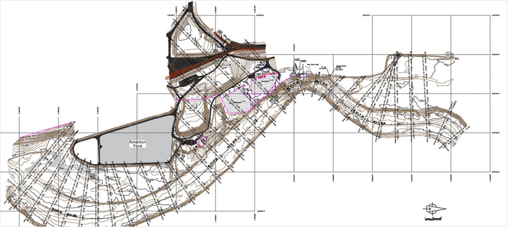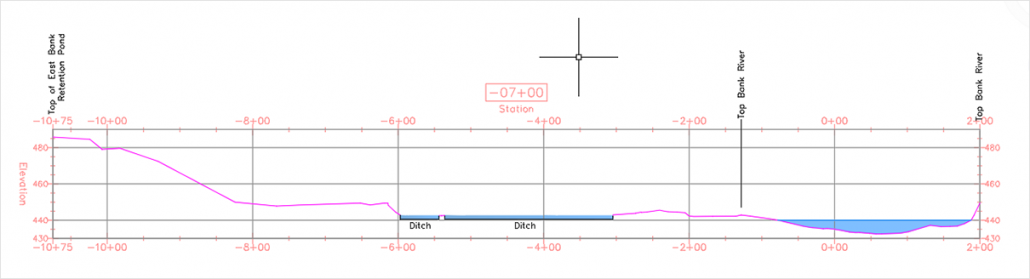
Topographical Surveying & Maps
A topographic survey is a detailed and accurate graphic representation of natural and man-made features on the ground such as buildings, fences, valleys, hills, streams, ponds, lakes, roads, etc. These surveys can be performed by taking field measurements with a robotic total station, GPS, hydrone boat survey for underwater features, and aerial drone photogrammetry for large open areas. They can be used to identify and map the contours of the found and existing features on the surface.