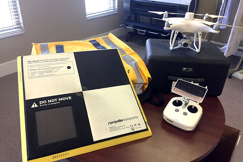
UAV Drone Surveying
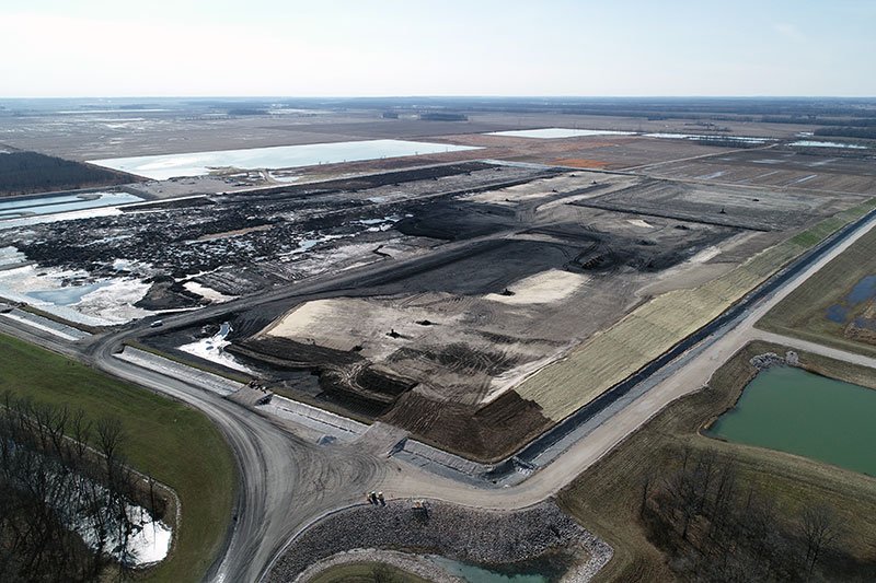
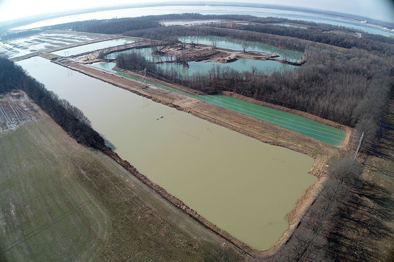
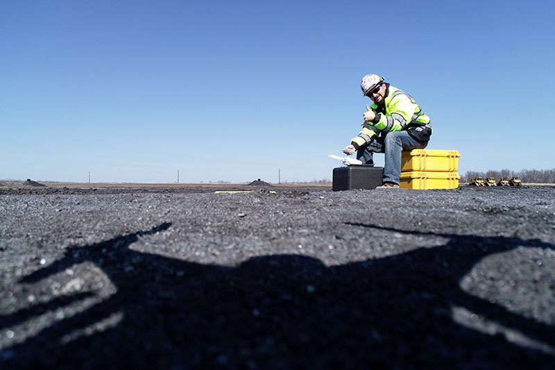
The use of UAV drone surveying will reduce data collection in the field to provide our clients with quicker data updates and progress pictures of job sites. It will allow us to gather data in areas where it’s unsafe for workers to go. It will allow us to provide our clients with more accurate data of work environments such as landfills, ash ponds, borrow pits, and storage piles.
PSI has teamed up with Propeller (https://www.propelleraero.com/) to help provide customers with consistent and accurate flight data for stockpiles, monthly volumes counts and progress pictures of active sites.