UAV LiDAR & Photogrammetry Surveying
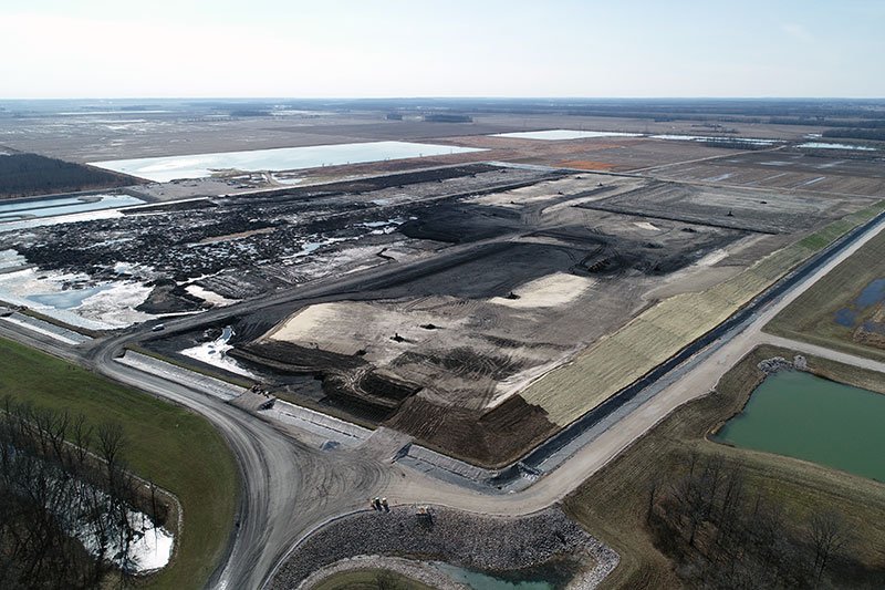
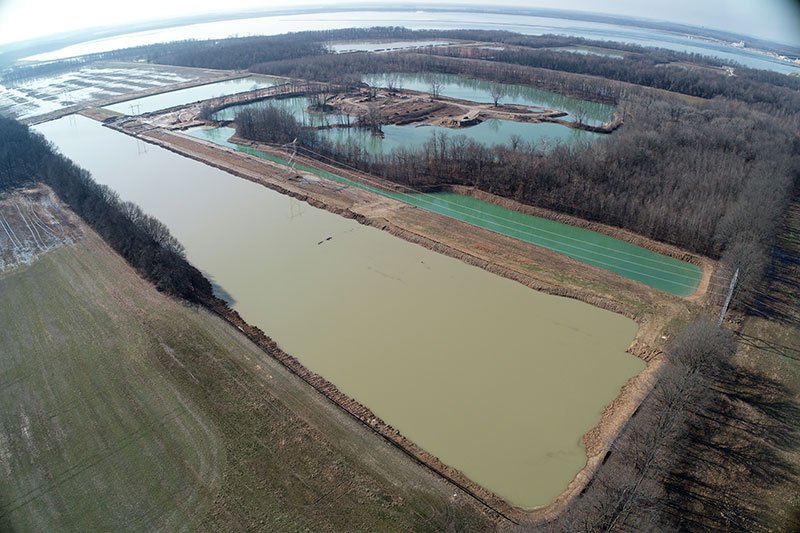
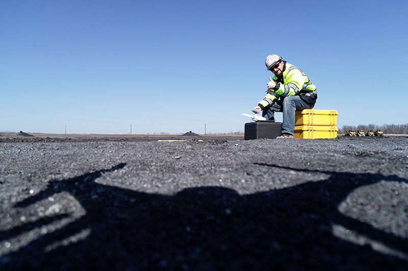
The use of UAV LiDAR and photogrammetry surveying reduces time spent in the field while providing clients with faster & more precise data updates and progress imagery of project sites. This technology allows us to collect data in areas that may be unsafe or difficult for personnel to access, while delivering highly accurate information for complex environments such as landfills, ash ponds, borrow pits, and material storage piles.
Our UAV surveying services include:
· Ash pond and landfill surveys at power generation facilities
· Photogrammetry surveys for landfills and ash ponds
· Pre-construction topographic surveys
· Surveys of vegetated or wooded areas
· Utility corridor surveys, including powerline corridors, railroad alignments, and above-ground pipe rack systems
UAV data collection also allows us to capture site progress imagery and calculate material volumes for stockpiles and earthwork activities.
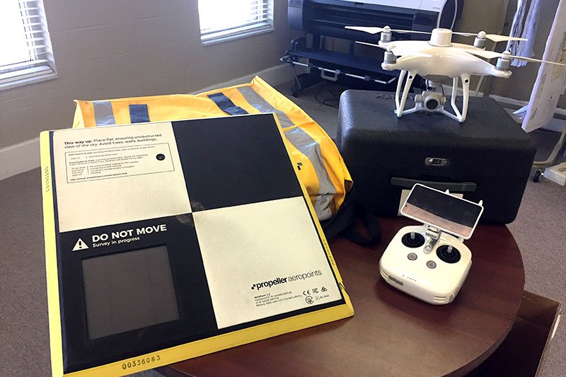
PSL has partnered with Propeller Aero (https://www.propelleraero.com/) to provide clients with consistent and accurate flight data for stockpile measurements, monthly volume calculations, and progress documentation of active sites. The collected data can also be exported to generate point clouds and surface models for use in engineering, surveying, and construction applications.